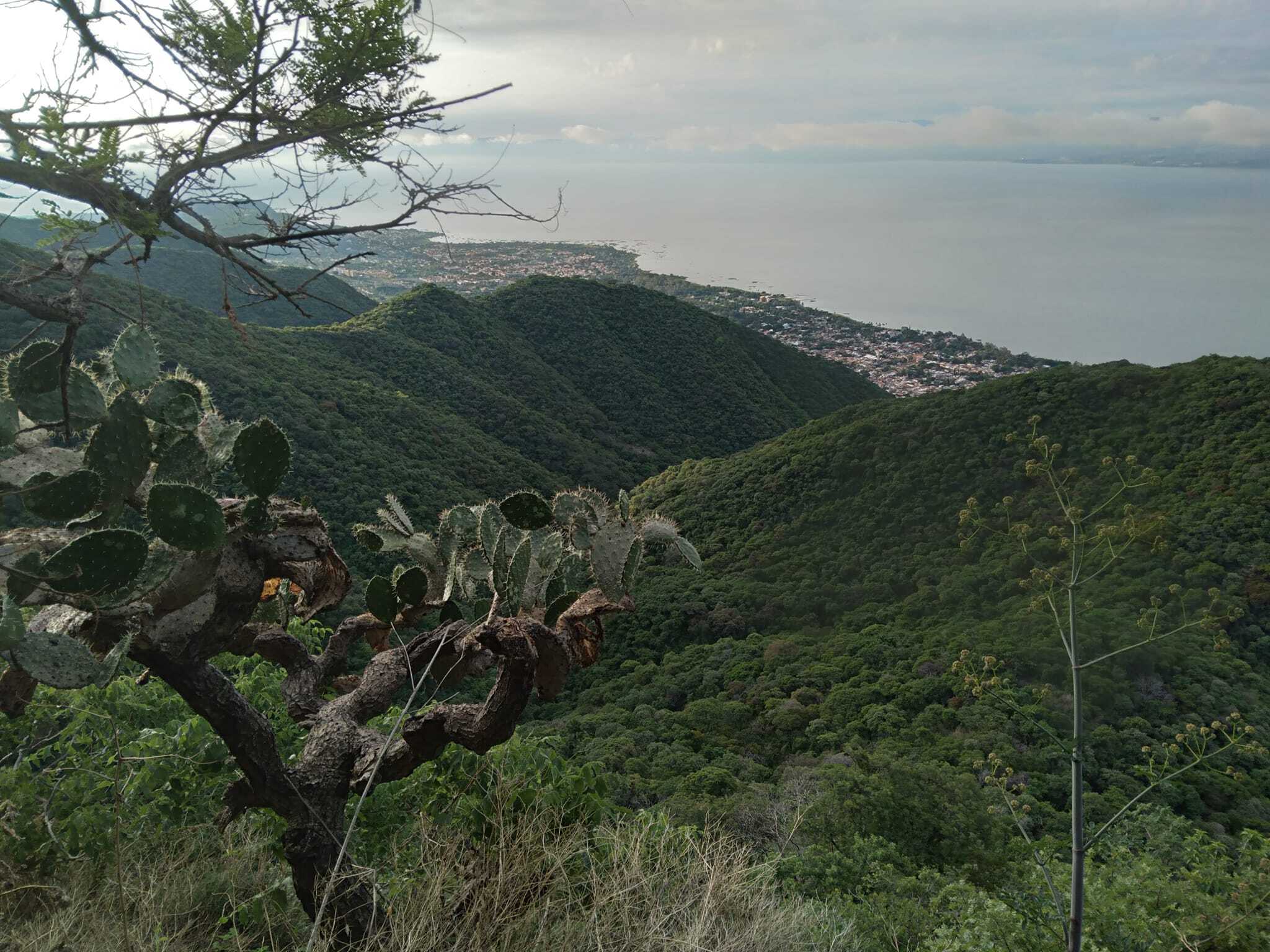
Being at the foot of this mountain range, it makes it easy to get into nature without having to drive anywhere. There are many trails that lead you to different points in the mountains. There used to not be any signs or markers at all, one had to know their way around. Not until a few years ago the signs were put up to help guide you. Some trails cross one another, there are different trails to get you to the same point, you can go up from one point and come back down at a different point and complete a circuit. You can spend a long time exploring the mountain by taking different routes. From Ajijic there are several destination points that might interest you.
Here are some of those trails:
El Tepalo
Difficulty: Moderate
This popular trail takes you to an area where waterfalls form during the rainy season in the summer months between June-September. The amount of water that flows down depends on how much it rains, but when we get hit by several good storms for several days, be assured that there will be a lot of water running down and a lot of people will be all over along the trail hanging out in the afternoon having picnics and cooling off from the heat by standing under the waterfalls. For locals, standing under a waterfall is a must and a reason to go. There are three main waterfalls locally known as “saltos” (jumps). When the trail is wet, it can get quite slippery so tread carefully. In the dry season, there are no waterfalls, but it is still a nice quick hike. The trailhead is at the very top of Calle Encarnación Rosas (from Donas Donuts up). Just follow that street all the way up. It will veer to the right and the trailhead is right before a gated community at the end of the street.
La Crusita
Difficulty: Easy
It’s one of the easiest trails and it takes you to the little chapel-like structure that houses an altar dedicated to Jesus and that can be seen from town. The trailhead starts at the very top of upper Colón. It can be tricky to find the actual entrance of the trail if you are not familiar. As Colón bumps into the mountain, go to your left and the trail entrance is next to the first big walled house, follow that wall up and the trail becomes evident. It zig-zags up on the mountain side until you get to the Crusita. You can enjoy views of the lake and town from various points on the trail and from the site. If you keep following the trail up, you will eventually come upon an open area on the top of the lowest peak. There you get an incredible 360° view of everything – the lake, the town, a view to the east and to the west, and the higher peaks behind.
La Chupinaya
Difficulty: Moderately Strenuous
This is the highest point of Ajijic’s mountains. At an altitude of 2,416 meters above sea level (7,926 ft), it is not the easiest of treks. There are several ways to get there, but the easiest and most direct way to get there is by starting from the Crusita trail, following the trail up to the big opening with the great views, and continuing north towards the higher peaks. You will come across a trail junction called El Pandito, where the trail splits off to the east, to the west, and up. Keep going up. And up. And up. Once you reach the ridge on the top, you will need to follow the trail to the left. It will take you past Las Cruces (three white crosses) where you get a breathtaking view of the lakeside. Keep going and you will come upon a fenced wooden structure. You are free to enter. You will see a little cave with an altar to the Virgin. Take a quick break and get ready for the last stretch. Continue the trail that goes up the last bit of the peak. You’ll know you are there once you spot the crosses. There will also be a post sign showing you the directions and distances to different places from that point. The view from the top is quite a sight. You can also see what’s on the northern side of the mountain. Not an easy hike, but well worth it. It takes the average person in decent shape around 4 hours round trip.


